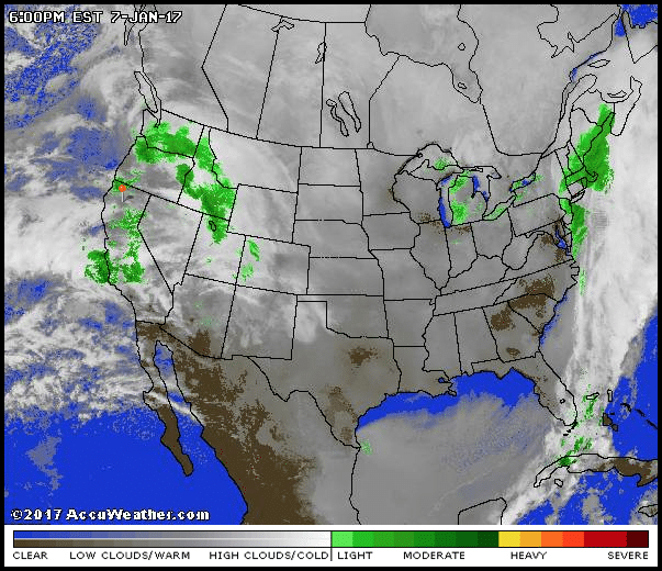
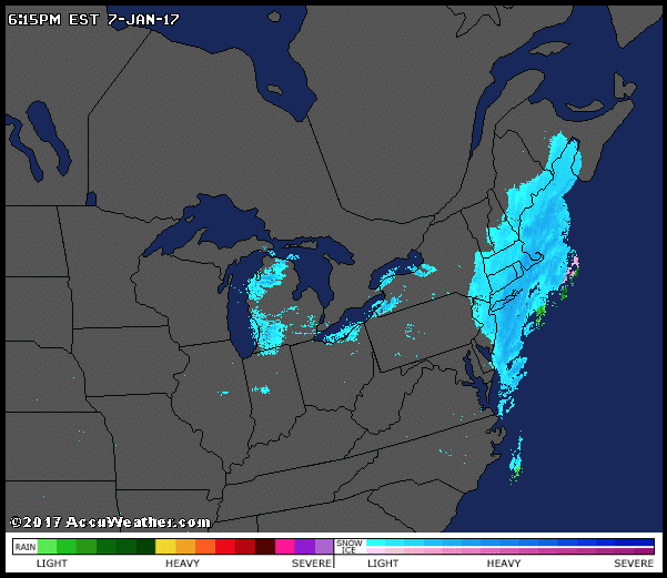
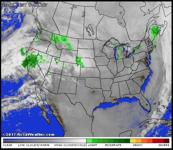
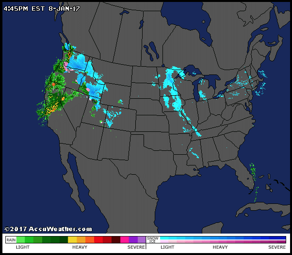
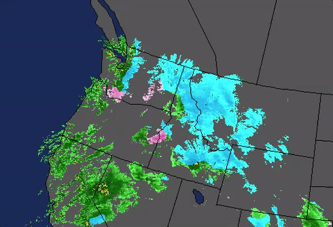
(Dane Wigington) In the combination satellite/radar image below, two flows of moisture (one in the west, one in the east) are being orchestrated and utilized by the climate engineers in the attempt to cool large regions of the US with chemical ice nucleation processes. The “Pineapple Express” of warm air and moisture is flowing in from the Pacific in the west. This flow of warm moisture was the beginning of “Winter Storm Iras“. In the East, an anomalous flow of warm air and moisture from the warm waters southeast of Florida is pushed up the eastern seaboard, this warm flow was the fuel for the final chapter of “Winter Storm Helena“.
Related NASA Satellite Imagery Reveals Shocking Proof Of Climate Engineering — HAARP Waves
Source – Geoengineering Watch
by Dane Wigington, January 9th, 2017


DW
_________________________
Stillness in the Storm Editor’s note: Did you find a spelling error or grammar mistake? Do you think this article needs a correction or update? Or do you just have some feedback? Send us an email at [email protected]. Thank you for reading.
Leave a Reply